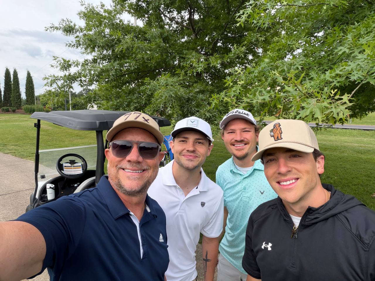
The TerraSight Team
The people behind TerraSight — combining decades of field experience with the latest in geospatial technology.
Experienced professionals who've built careers in the field — now bringing precision aerial intelligence to every project.
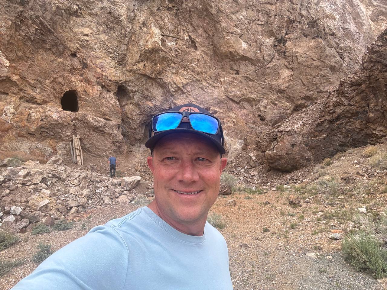
Corey Tolle began his mining career in 2004 after being asked to develop a business plan for a family-owned porphyry copper deposit in the historic San Francisco Mining District of Utah. Taking equity in lieu of payment, he became a part-owner in a copper development project — a decision that set the trajectory for a two-decade career in resource exploration.
He spent several years advancing hard-rock and alluvial projects across Oregon and Arizona, working alongside the nation's leading recovery engineers to extract fine gold from historic dredge tailings dating back to the late 1800s. Corey continues to own a high-grade hard-rock gold deposit in the Buckskin Mountains near Parker, Arizona.
His career expanded internationally with more than four years in West Africa, where he developed gold and diamond alluvial programs in Sierra Leone and Liberia. As a licensed gold and diamond exporter in both countries, he led dredging operations yielding over 50 ounces of gold per week and built global relationships with buyers across multiple markets.
Throughout his career, Corey has developed extensive experience with geospatial and geophysical technologies — including LiDAR, hyperspectral imaging, subsurface geophysics, and advanced survey platforms — integrating these tools into exploration programs to strengthen interpretation, refine targeting, and accelerate development across diverse terrains.
Corey holds a Master of Arts in Theology from Covenant Theological Seminary in St. Louis. His commitment to integrity, cross-cultural service, and people-centered leadership shapes every project he leads.
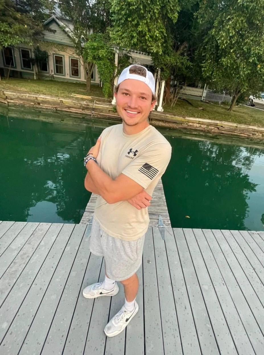
Mason Tolle is a geospatial technology and unmanned aircraft systems specialist with extensive experience in advanced drone operations, thermal imaging, and remote-sensing applications across energy and mining environments. He holds a BS in Unmanned Aircraft Systems from Southeast Missouri State University and is a licensed FAA Part 107 Remote Pilot.
Mason began his professional career with Ameren Missouri's Drone Division, conducting high-value inspections across transmission lines, substations, and critical electrical infrastructure — including thermal imaging, anomaly detection, and structural integrity evaluations.
Expanding into mining and geospatial work, Mason has provided drone-based mapping services for multiple operations throughout Utah and Arizona — covering LiDAR terrain modeling, high-resolution photogrammetry, thermal and multispectral imaging, and 3D model integration to support mine planning, permitting, and operational decision-making.
With certified flight credentials, technical training, and hands-on industrial experience, Mason represents the next generation of UAS professionals advancing the future of mineral exploration and remote-sensing technology.
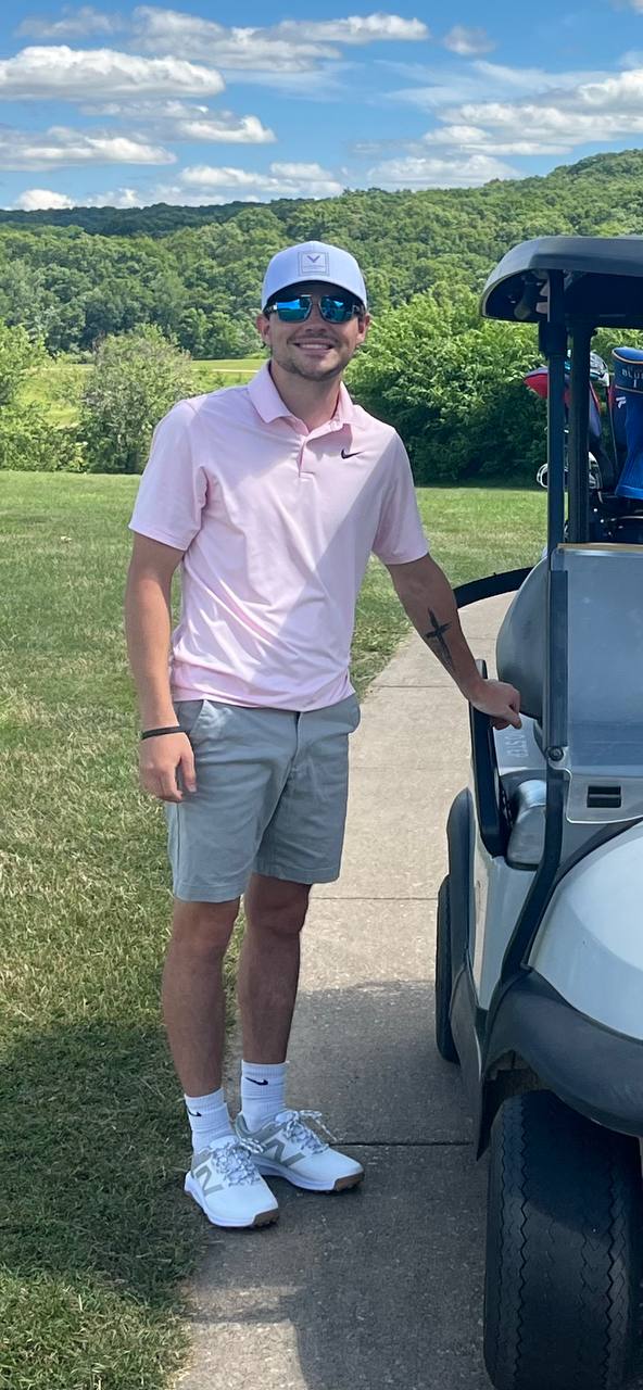
Landen Tolle is pursuing a degree in Cybersecurity while developing specialized expertise in geospatial data processing and digital technologies that support modern surveying and resource exploration. His work focuses on transforming complex LiDAR datasets into accurate, client-ready deliverables through industry-standard processing workflows.
Landen is professionally trained in DJI Terra and DJI Modify, strengthening TerraSight's ability to process, analyze, and deliver high-quality geospatial data with efficiency and precision. His cybersecurity background provides a strong foundation in data management, digital infrastructure, and emerging technologies.
Beyond data processing, Landen oversees the company's digital presence, website development, and technology systems — integrating innovative tools and modern workflows that improve efficiency while maintaining a professional client experience.
Tell us about your project and we'll put together a plan that fits your timeline and budget.
Request a Consultation