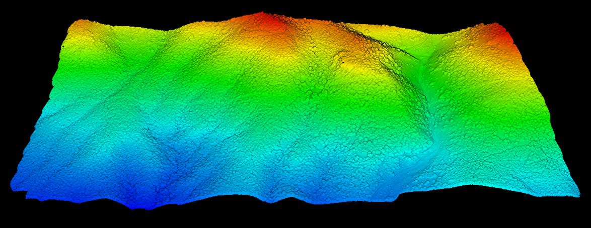
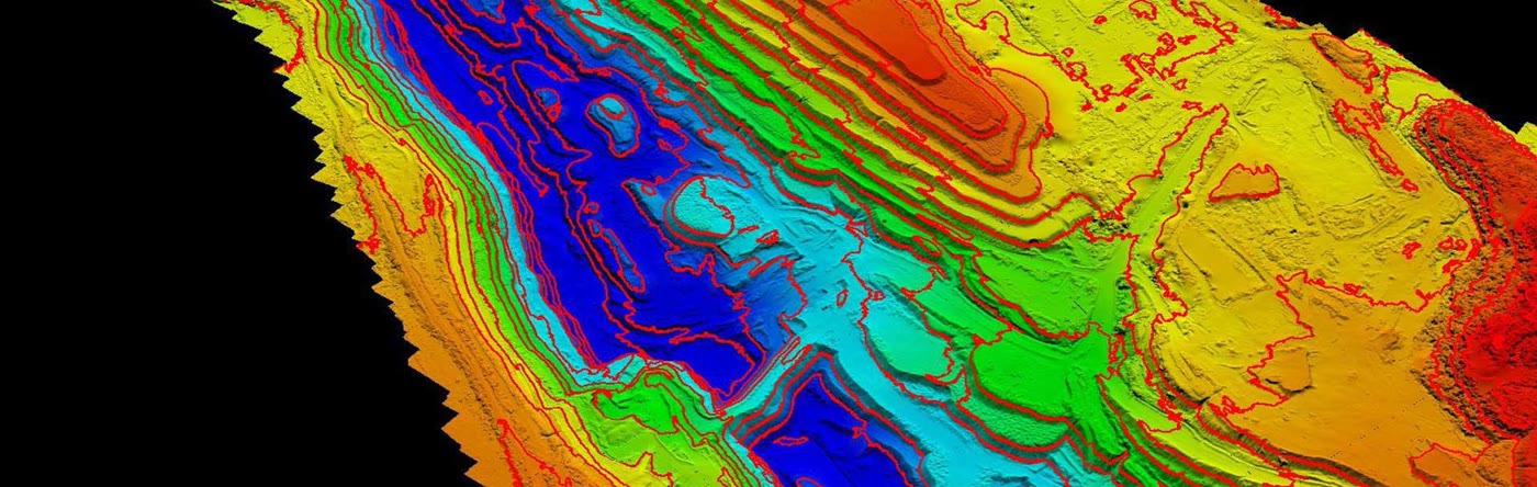
Contour mapping and terrain models for Missouri and Southern Illinois, produced from drone LiDAR and photogrammetry and delivered as Civil 3D surfaces, DWG contours, and GeoTIFF elevation models.
A topographic map is the foundation of every grading plan, drainage study, and site layout. TerraSight produces that foundation from aerial data: a dense, georeferenced terrain model of the entire parcel, refined into contour lines, elevation rasters, and design surfaces that load directly into AutoCAD, Civil 3D, and ArcGIS.
Depending on the site, we capture with drone LiDAR, photogrammetry, or both. LiDAR is the default for wooded, brushy, or steep ground across the St. Louis region because it measures through vegetation to the true surface. Photogrammetry suits open sites such as farmland, cleared pads, and parking areas, and adds a high-resolution orthomosaic for context. Either way, the output is a continuous surface built from millions of measured points rather than a sparse set of shots.
Contour intervals, coordinate systems, and vertical datums are set to match your project standards. Most Missouri work is delivered in Missouri East State Plane on NAVD88; Illinois projects use Illinois West. If you need the underlying classified point cloud as well, it is available through our drone LiDAR surveying service.
| Capture Method | Drone LiDAR and/or Photogrammetry |
| Contour Interval | 1 ft, 2 ft, 5 ft, or custom |
| LiDAR Vertical Accuracy | ±3 cm |
| Positioning | RTK / PPK GNSS + Ground Control |
| Coordinate Systems | MO / IL State Plane or project datum |
| Compatible With | AutoCAD, Civil 3D, ArcGIS, QGIS |
From a two-acre commercial pad in O'Fallon to a several-hundred-acre development tract in St. Charles County, drone topographic mapping gives project teams a complete picture of the ground early, when it influences design the most.
Existing-grade surfaces for grading plans, stormwater design, detention sizing, and earthwork estimates, delivered ready for Civil 3D.
Terrain, drainage patterns, and slope constraints for subdivision layout and feasibility across the fast-growing corridors west of St. Louis.
Accurate site context for building placement, accessible routes, retaining walls, and grading concepts, with an orthomosaic for presentation.
Contour and elevation data for stormwater master planning, park design, roadway improvements, and floodplain management.
Field topography for drainage tile planning, terrace design, and erosion control on Missouri and Illinois farmland.
Periodic surface updates for cut/fill tracking, airspace calculations, and progress documentation on active sites.
A topographic survey is only as good as the surface behind the contours. Our workflow is designed to make that surface accurate, complete, and documented.
We review the parcel, vegetation, terrain, and your deliverable standards, including contour interval, coordinate system, and datum. Based on that review we select LiDAR, photogrammetry, or a combined capture and plan the flight to achieve the required point density.
Ground control points and independent checkpoints are set with GNSS survey equipment and tied to published control or to your surveyor's project control, so the terrain model aligns with the rest of your project data.
An FAA Part 107 licensed, professionally trained pilot flies the planned mission with RTK/PPK positioning. LiDAR returns and imagery are logged with GNSS time stamps for precise georeferencing.
The point cloud is classified to isolate ground, then filtered and checked against control. We build the DTM, add breaklines where terrain demands them, generate contours at the specified interval, and produce slope, aspect, and section outputs.
Contours are reviewed for topology and labeling, surfaces are tested against checkpoints, and the package is exported in your formats with a survey report documenting method, control, and accuracy.
A drone can fly a site in an afternoon; the value is in what happens afterward. TerraSight processes every topographic dataset in professional geospatial software, classifies ground returns carefully, and builds the surface with the breaklines and checks a designer expects. The contours you open are clean, attributed, and consistent with the DEM they came from.
We operate from O'Fallon, Missouri, which means the St. Louis metro, St. Charles County, and Southern Illinois are all local to us. That proximity keeps scheduling flexible and makes re-flights after clearing, grading, or seasonal leaf-off practical.
Our sensor specifications and software stack are listed on the technology page, and sample outputs are on the projects page. For open sites where a high-resolution base map matters as much as the terrain, our photogrammetry and orthomosaic service can be captured on the same flight.
Contours are generated from the terrain model at the interval your project requires, commonly 1-foot or 2-foot for site design and 5-foot for planning-level work. The interval we recommend depends on the terrain, the accuracy achieved, and the intended use, and we document it in the deliverable report.
Yes. We deliver surfaces as Civil 3D-ready TIN or point files, contours as DWG or DXF with elevation attributes, and DEM rasters as GeoTIFF. Your designer can create a Civil 3D surface directly from the data and begin grading or drainage design without reformatting.
A conventional topo records a few hundred to a few thousand points chosen by a field crew. A drone LiDAR or photogrammetry survey records millions of points across the entire site, producing a continuous surface that captures subtle grade breaks, swales, and berms a sparse point set can miss. Ground survey remains the right choice for boundary work and for locating specific features such as inverts and utility rims.
Yes. For vegetated sites we use drone LiDAR, which records multiple returns per pulse and reaches the ground through gaps in the canopy. Open sites such as farmland, graded pads, and parking areas can often be mapped with photogrammetry instead. We select the method based on the site and the accuracy you need.
TerraSight operates from O'Fallon, Missouri and provides drone topographic mapping throughout the St. Louis metro, St. Charles County, and Southern Illinois, including St. Louis County, Jefferson County, Lincoln County, Warren County, and the Metro East.