Geospatial Drone Solutions

Construction Drone Mapping in St. Louis

Recurring progress mapping, earthwork tracking, and as-built site documentation for general contractors, civil engineers, developers, and owners across the St. Louis metro, St. Charles County, and Southern Illinois.

What You Receive

A Measured Record of the Whole Site, Every Interval

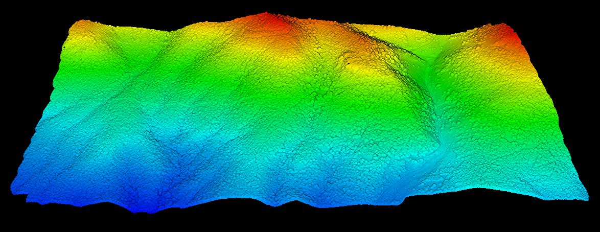
Construction progress is usually documented with photographs, daily logs, and whatever the project surveyor was asked to shoot that week. None of it covers the full footprint, and none of it can be measured after the fact. A construction drone mapping program replaces that patchwork with a georeferenced dataset captured on a fixed interval: an orthomosaic you can scale and annotate, a surface you can compare against design, and a point cloud or mesh that preserves the site exactly as it stood on that date.

TerraSight captures each interval with high-overlap photogrammetry or DJI L-series LiDAR, tied to the project's control and coordinate system so every dataset aligns with your civil drawings. Earthwork quantities are computed against the prior survey and the design surface, buried utilities are documented before backfill, and the whole record is delivered in formats that open directly in Civil 3D, AutoCAD, ArcGIS, and common construction management platforms.

The result is a site history that supports pay applications, resolves disputes with documentation rather than recollection, and gives owners and lenders a clear view of the project without a site visit. Our sensors and processing workflow are described on the technology page.

Standard Deliverables
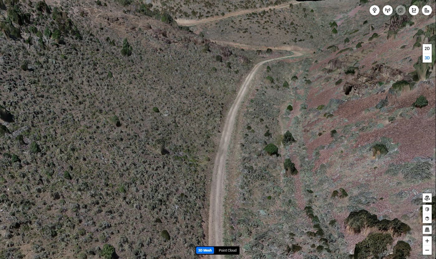
Georeferenced Orthomosaic (GeoTIFF) Digital Elevation Model (GeoTIFF) Existing-Ground Surface (DWG / LandXML) Cut-Fill to Design & Prior Survey Classified Point Cloud (LAS / LAZ) Textured 3D Mesh (OBJ / 3D Tiles) Progress Report (PDF) Oblique Progress Photo Set Accuracy & Control Statement
Program Parameters
Capture MethodPhotogrammetry, LiDAR, or Both
PositioningRTK / PPK on Project Control
IntervalWeekly, Biweekly, Monthly, or Milestone
Coordinate SystemMatched to Project Drawings
Compatible WithCivil 3D, AutoCAD, ArcGIS, Navisworks
Applications

Four Phases of Site Documentation

The data needs of a project change from the first survey stake to the final walkthrough. A mapping program is structured around those phases.

Pre-Construction Existing Conditions

Before mobilization, a complete survey of the site and its surroundings establishes the baseline against which every later interval is measured. The existing-ground surface drives earthwork estimates, and the orthomosaic documents adjacent property, pavement, structures, and vegetation as they stood before work began.

This baseline is often the most valuable dataset on the project when a question arises about pre-existing damage, original grades, or the extent of clearing.

Earthwork Progress & Quantity Tracking

During mass grading, each interval survey is compared against the previous one and against the design grading plan. The output is a cut-fill heat map, a quantity table by area or phase, and a running total of material moved, which supports pay applications and identifies areas trending off grade early.

Stockpile and borrow volumes on site are measured in the same flight using our volumetric measurement workflow.

Utility & Foundation Documentation

Storm, sanitary, water, electrical duct banks, and foundation elements are captured in open trenches and formwork before backfill or pour. The georeferenced record preserves horizontal position and, where surfaces are visible, elevation for later as-built drawings and for crews who need to locate buried work years from now.

Delivered as orthomosaics, point clouds, and annotated progress imagery aligned to the civil drawings.

Vertical Progress & As-Built Closeout

As structures rise, oblique imagery and 3D mesh models document facade progress, roof installation, site paving, and landscaping for owner reporting and marketing. At closeout, a final survey produces the as-built surface and orthomosaic that become the permanent record of the finished site.

The complete time series is handed over as a single organized archive the owner can retain for facility management.

Who It Serves

Project Teams Across Missouri & Illinois

General Contractors

Recurring progress documentation, quantity support for pay applications, and a defensible record of site conditions at every interval.

Civil Engineering Firms

Surveyed surfaces that import directly into Civil 3D for grading verification, drainage review, and construction administration.

Developers & Property Owners

Clear, dated visual records of commercial, industrial, and residential projects for lenders, investors, and leasing without a site visit.

Owners' Representatives & CMs

Independent verification of reported progress and quantities, with datasets that can be measured rather than taken on description.

Earthwork & Site Contractors

Cut-fill tracking against design, borrow and spoil accounting, and documentation of subgrade before paving or building pads are released.

Public Agencies & Institutions

Documentation of municipal, transportation, school, and healthcare projects for stakeholder reporting and long-term asset records.

How It Works

Capture. Process. Deliver.

A monitoring program is only useful if every interval is comparable to the last. Our process locks down control, method, and format at the start and holds them through closeout.

01
Project Setup & Control Alignment

We review the civil drawings, design surfaces, project coordinate system, and reporting needs with your team, then coordinate with the project surveyor so our control matches theirs. The flight boundary, interval, and deliverable list are fixed in a program plan.

02
Baseline Survey

An existing-conditions survey establishes the reference surface and orthomosaic. Ground control points are set in locations expected to survive construction, or tied to the surveyor's permanent control, so every later interval processes against the same framework.

03
Recurring Capture

An FAA Part 107 licensed, professionally trained pilot flies each interval with DJI Enterprise systems on a schedule coordinated with the superintendent. Nadir mapping passes are supplemented with oblique imagery of structures and open excavations. Flights are brief and do not require stopping work.

04
Processing & Comparison

Imagery and LiDAR are processed into orthomosaics, point clouds, and surfaces, checked against control, and classified to separate ground from equipment and materials. The new surface is compared to the previous interval and the design to produce cut-fill maps and quantity tables.

05
Delivery & Archive

Each interval is delivered as a dated package with the progress report, orthomosaic, surfaces, point cloud, and imagery, in the formats your team specified. The full time series is maintained in an organized archive and handed over in its entirety at project closeout.

Why TerraSight

Survey Discipline Applied to Progress Documentation

Plenty of drone operators can take progress photos. The difference TerraSight brings is that every dataset is georeferenced to project control, processed with the same photogrammetry and LiDAR software used by engineering firms, and delivered in the formats your civil team already works in. A progress orthomosaic that does not align with the drawings is a picture; one that does is a measurement.

We are based in O'Fallon, Missouri, which makes weekly and biweekly intervals across St. Charles County, the St. Louis metro, and the Metro East practical to sustain for the full life of a project. Our pilots are FAA Part 107 licensed and professionally trained in survey-grade data collection, and our operations are fully insured for work on active construction sites.

Monitoring programs frequently begin with a topographic survey for design and incorporate stockpile and earthwork volumes at each interval. Sensor specifications are on the technology page, and representative datasets are on the projects page.

  • Every interval tied to project control and the drawing coordinate system
  • Cut-fill quantities against both the prior survey and the design surface
  • Buried utilities and foundations documented before backfill
  • Surfaces delivered as DWG and LandXML for direct Civil 3D import
  • Textured 3D mesh and oblique imagery for owner and lender reporting
  • Flights coordinated with the superintendent; no work stoppage required
  • Complete, organized time-series archive handed over at closeout
  • FAA Part 107 licensed pilots, fully insured operations
Questions

Construction Drone Mapping FAQ

How often should a construction site be flown?

It depends on the phase. Mass grading and utility installation change the site quickly and are often mapped weekly or biweekly so earthwork quantities and buried work are captured before they are covered. Vertical construction phases are typically mapped monthly to align with pay applications and owner reporting. We set the interval with your project team and adjust it as the schedule evolves.

Can the drone data be compared against our design files?

Yes. If you provide the design surface, grading plan, or model in a format such as LandXML, DWG, or IFC, we align the surveyed surface to the same coordinate system and produce a difference map and quantity table showing where the site is above, below, or at grade. This is one of the most useful outputs for earthwork contractors and owners' representatives.

Will drone flights interfere with site operations?

Flights are planned with the superintendent and typically take well under an hour for most sites. Nobody has to stop work, and no survey crew needs to walk active areas. We coordinate around crane operations, concrete pours, and other critical activities, and we comply with all FAA airspace requirements for the site location.

Does drone mapping replace the project surveyor?

No. Layout, boundary work, and certifications remain with the licensed project surveyor. Drone mapping complements that work by documenting the whole site at each interval, quantifying earthwork across the full footprint, and giving the team a shared visual record. We are glad to coordinate with your surveyor so control and coordinate systems match.

Where do you provide construction drone mapping?

TerraSight is based in O'Fallon, Missouri and provides construction progress mapping and site documentation throughout the St. Louis metro, St. Charles County, and Southern Illinois, including the Metro East. Projects elsewhere in Missouri and Illinois can be scheduled by arrangement, particularly for recurring programs.

Related Services

More From the Same Site Visit

Starting a Project in the St. Louis Area?
Tell us about the site, the schedule, and who needs the data. We will propose a mapping interval and deliverable set that fits the project.
Request a Consultation